Link Windows
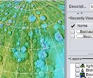
World Wind is a program developed by NASA for exploring the surface and moon using satellite imagery and topographic maps available on the Internet (among others, Landsat7 with a resolution of 15 m / px or the USGS Urban Area Ortho, with a resolution of 0.25 m / px in US cities). Since the program's website you can download dozens of modules to extend the possibilities of the program.
Before installing WorldWind, you need to have installed .NET Framework 2.0.


