Link general
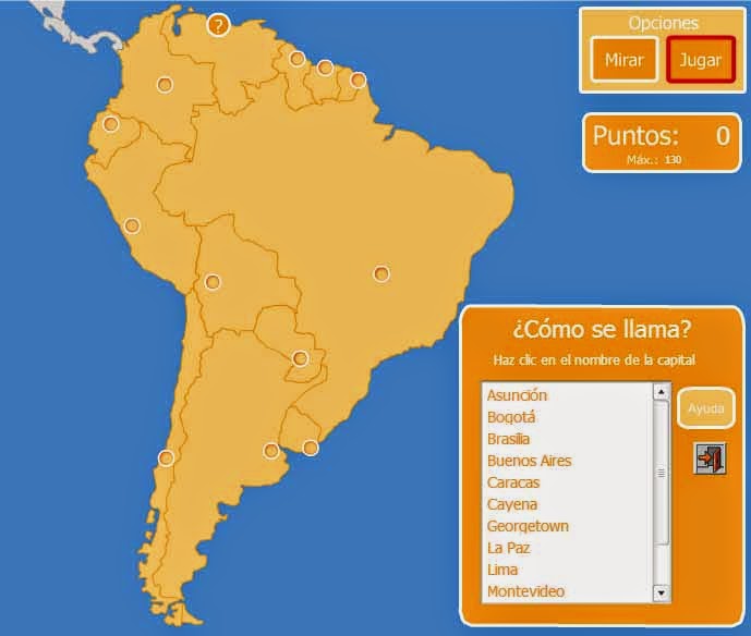
For the learning of world geography we highly recommend Flash Interactive Maps, an ideal tool for students to interactively work with maps, learning to locate countries, provinces, departments, states, capitals, rivers, seas and oceans in them. You will find maps of the whole world and of all the continents.
Designed by Enrique Alfonso de Xarxa, this interactive map website is free and written in Flash. It has 3 learning modalities where they will learn geography that includes political, physical maps (reliefs) and rivers:
- Puzzle
- As it is called?
- Where is?
Interactive Maps Flash has hundreds of different maps, organized by:
- Interactive maps of Spain (classified by autonomous community).
- Interactive maps of Europe.
- Interactive maps of North America.
- Interactive maps of Central America.
- Interactive maps of South America.
- Interactive maps of Africa
- Interactive maps of Asia
- Interactive maps of Oceania
- Interactive World Map Maps
Students will enjoy various activities where they will find that learning geography can be fun.
Flash interactive maps are available in several languages: Spanish, Portuguese, English, German, French, Italian, among others.


