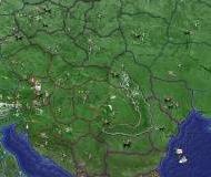
WW2D allows you to explore Earth using satellite imagery, topographic maps and image from other data sources also providing large placenames and boundaries database and allowing you to install community-made add-ons for even more info about our planet.


